
")
- Details
- Written by Hamid Reza Azimido
- Hits: 2887
The cultural-historical complex of Taaq-e-Bostan is located at the west of Iran, Kermanshah-the province, the North of Kermanshah-the city, at the end of Taaq-e-Bostan Blvd. which coordinates E47, 07.872 & N34, 23.216 and about 1365 meters above the sea level.
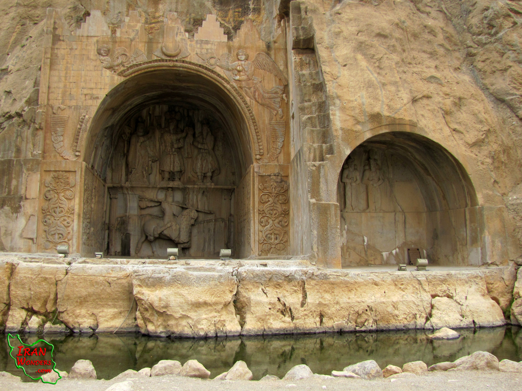
Read more: Taaq-e-Bostan in Kermanshah
Write comment (0 Comments)- Details
- Written by Hamid Reza Azimi
- Hits: 4566
Ramsar used to be called Sakhtsar before. It is located in the South coast of the Caspian Sea, the west of Mazandaran province, North of Iran and the Alborz mountain ranges, 290 Km away in the North-West of Tehran. Ramsar County is between the Caspian Sea (the largest lake in the world) from the North, the Alborz mountain ranges and Hirkani Jungles from the South, Tonekabon from the East and Roudsar and Gilan province from the west.
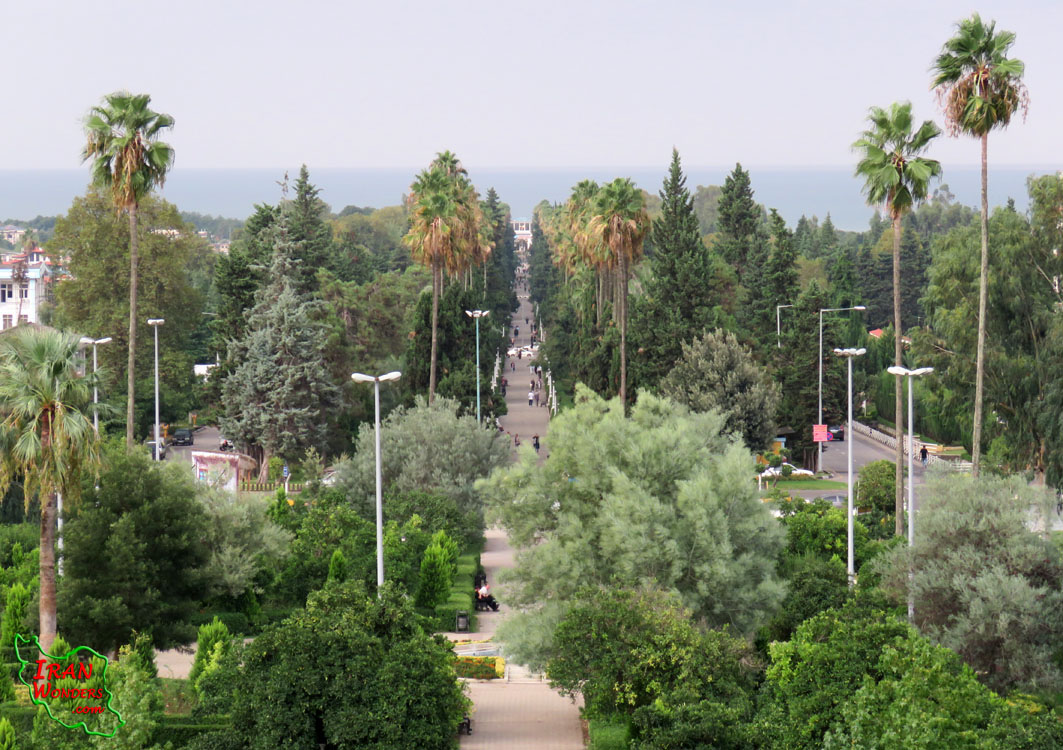
Read more: The beautiful coastal city of Ramsar
Write comment (0 Comments)- Details
- Written by Hamid Reza Azimido
- Hits: 3809
The historic city of Qazvin is located 150 Km away in the west of Tehran. It is center of Qazvin province.
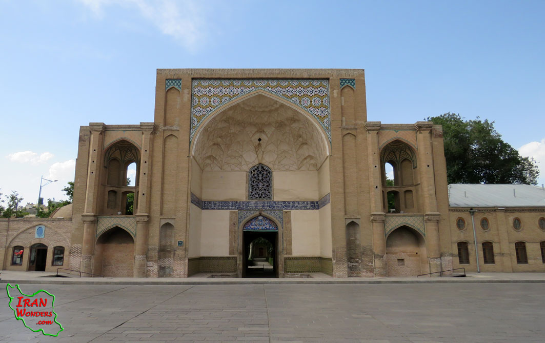
Read more: The historic city of Qazvin
Write comment (0 Comments)- Details
- Written by Hamid Reza Azimido
- Hits: 4032
Lalejin is a city in Simineh-Roud in Hamedan province. It is 21 Km away in the North-West of Hamedan and 5 Km away from the North of Bahar, on the way from Milajerd to Saleh-Abad. It is located in E59, 34 & N29, 48 and about 1750 meters above the sea level.
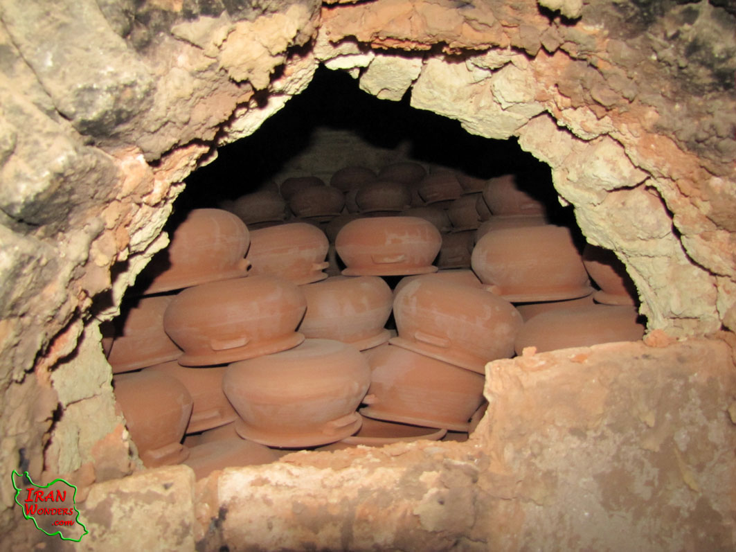
Read more: Lalejin (The center of the ceramic and pottery handicrafts in Iran)
Write comment (0 Comments)- Details
- Written by Hamid Reza Azimido
- Hits: 3490
Abyaneh village is in the center of Iran, Isfahan province, central part of Natanz the county on the foothill of Karkas Mountain, around the desert that coordinates E51, 35.355 & N33, 35.239 and about 2250 meters above the sea level.
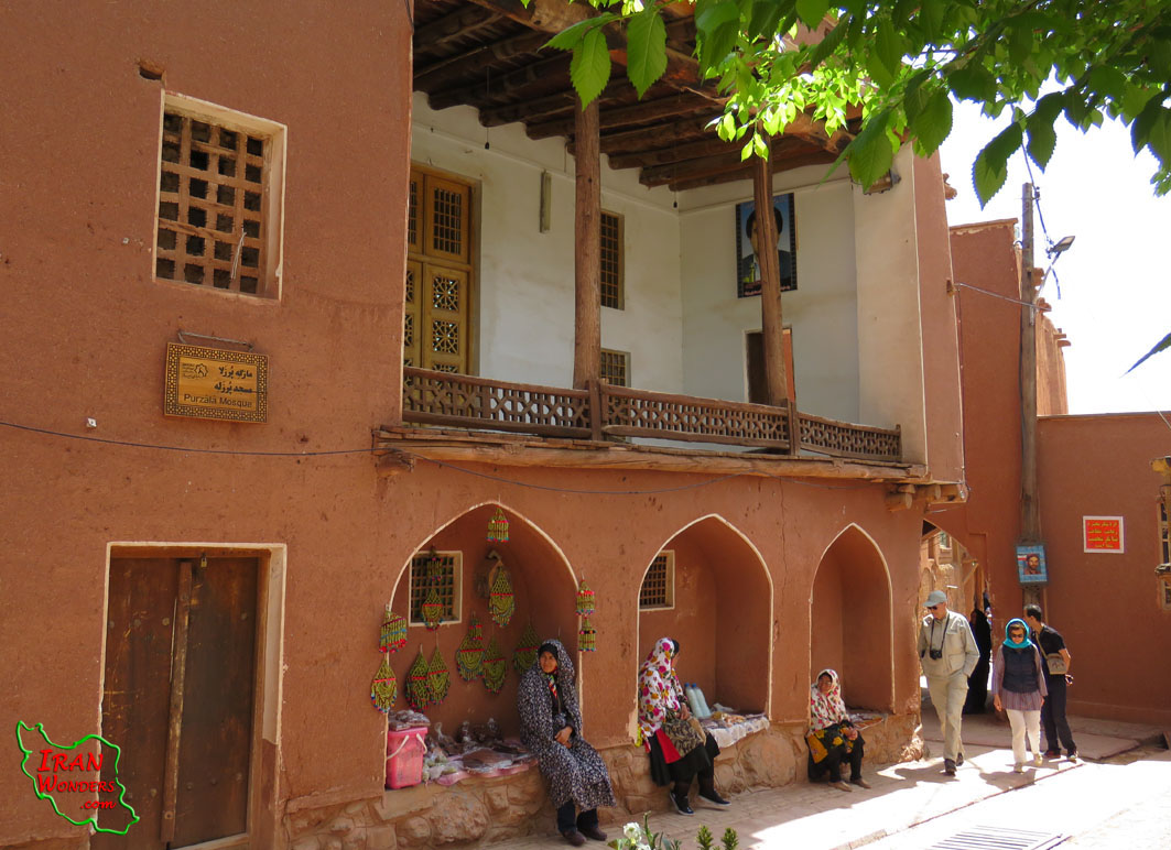
Read more: Abyaneh Village (A memento of ancient Iran)
Write comment (0 Comments)- Details
- Written by Hamid Reza Azimido
- Hits: 3654
Hormoz Island is a part of Qeshm and Hormozgan province in the South of Iran. This island is located at the entrance of the Persian Gulf in the Hormoz strait. It is 18 Km away in the South-East of Bandar-Abbas, 25 Km away in the North-East of Qeshm Island and 18 Km away from the North of Larak Island. It is located between N27, 02 to N27, 06 and E56, 25 to E56, 30.
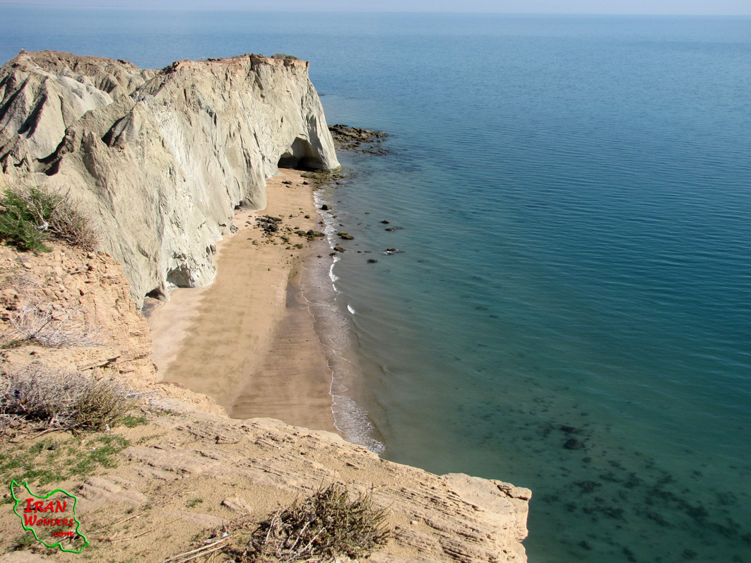
Read more: The colorful island of Hormoz
Write comment (0 Comments)- Details
- Written by Hamid Reza Azimido
- Hits: 3372
Alamout castle is in the North of Gazorkhan village, Roudbaar-e-Alamout area, Moallem-Kalayeh part of Qazvin province, about 104 Km away in the North-East of Qazvin and the South of the Alborz Mountain ranges. It is located at E50, 34.905 & N36, 26.800 and about 2160 meters above the sea level.
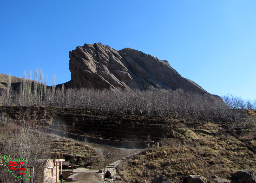
Read more: Alamout Castle (Hasan Sabbah’s Fort)
Write comment (0 Comments)- Details
- Written by Hamid Reza Azimido
- Hits: 5994
The Chehrabad salt mine, that is called Duzlakh (Salt marsh) by locals, is known as the oldest salt mine in Iran. It is near Hamzehlou village, 70 Km away from the North-West of Zanjan where Mehrabad and Chehrabad rivers meet. This area has been habitat for humans from the Bronze era, but it became famous after excavation of the naturally mummified bodies named the salt men.
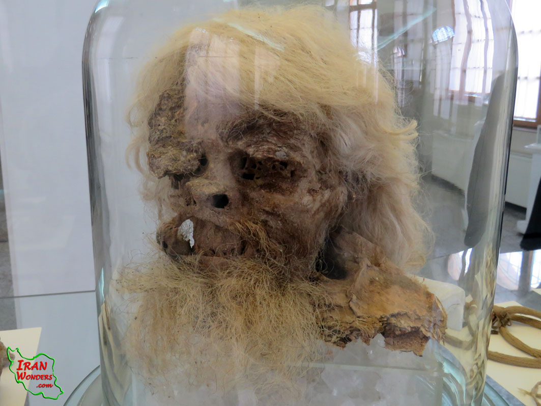
Read more: The salt men of Chehrabad mine in Zanjan- Iran
Write comment (0 Comments)- Details
- Written by Hamid Reza Azimido
- Hits: 5231
Kalate Nader is the farthest fort in the North-East of Iran, Khorasan-Razavi province and neighboring Turkmenistan. It is 145 Km away from Mashhad and is located at E59, 46.076 & N36, 59.699 and about 900 meters above the sea level. This area is formed as a natural structure, surrounded by mountains which has important role in history, especially in Nader-Shah’s time.
Read more: Kalat-e-Nader (The natural fort)
Write comment (0 Comments)- Details
- Written by Hamid Reza Azimido
- Hits: 3695
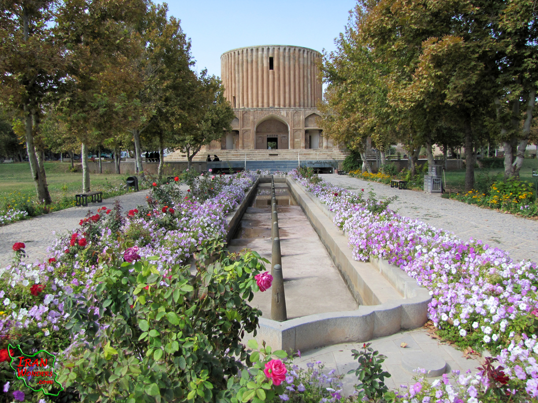
Neyshabour is located 104 Km away in the west of Mashhad, in Khorasan-Razavi province, North-East of Iran and on the main Silk Road. Neyshabour is known as the city of scientists, artists and poets. It has a rich cultural, great art and trading in the 3th millennium B.C. It has been the capital of Taherids in the 10th century A.D.
Read more: Neyshabour (The archeological city of Shadyakh)
Write comment (0 Comments)