
")
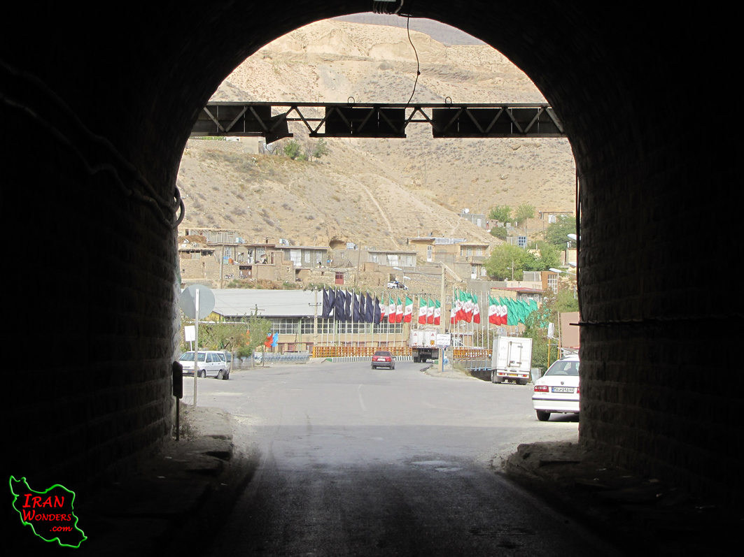
Kalate Nader is the farthest fort in the North-East of Iran, Khorasan-Razavi province and neighboring Turkmenistan. It is 145 Km away from Mashhad and is located at E59, 46.076 & N36, 59.699 and about 900 meters above the sea level. This area is formed as a natural structure, surrounded by mountains which has important role in history, especially in Nader-Shah’s time.
Kalat means a village on the top of the mountain. It has been mentioned for the first time in Shahnameh, Ferdowsi’s masterpiece which is back to about 1000 years ago. During Sasanids dynasty it was used as the shelter for the commanders. There are some signs from Saljuqs such as Nader dam. During Ilkhanids, it was very important that the Arqon-Shah’s gate constructions have remained from that time. Kalat resisted against Teymour attacks strongly. It is mentioned in the history that Teymour attacked Kalat 14 times, but he was unsuccessful. But the most important period was during Afsharids dynasty. It was very important, because of the natural walls and controllable gates which were used as the accommodation for Nader-Shah and as a safe for the jewelries.
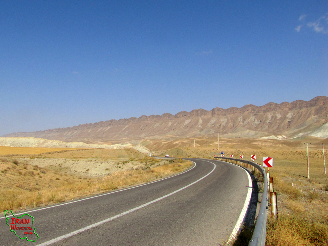
The natural fort of Kalat is an oval shaped area among Hezaar-Masjed Mountains as a natural wall. It is 30 Km long and 25 Km wide. The weather is mild and mountainous. Archangan and Idelik rivers and Qaresou valley are the famous countryside.
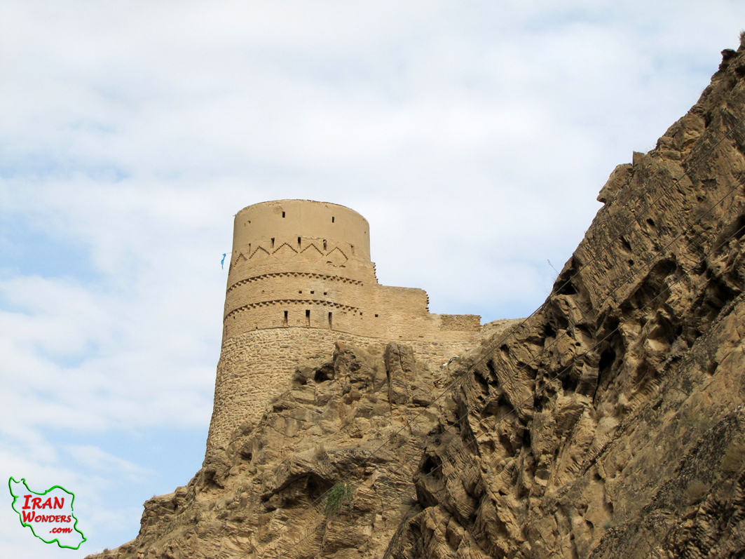
Qasre-Khorshid (The palace of the sun), Arqoun-Shah tower, Naderi dam, Naderi epigraph, Kaboud mosque, Zavin dam, Qaresou and Ortokand waterfalls are the tourist attractions of Kalat.
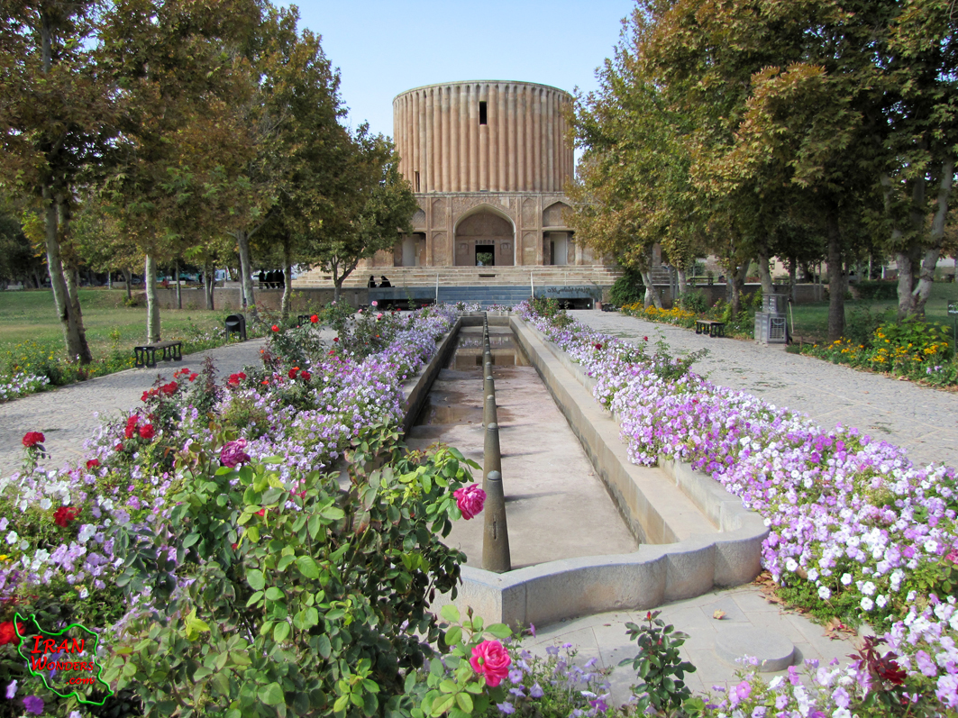
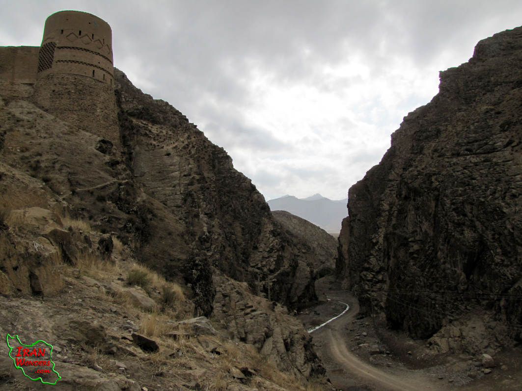
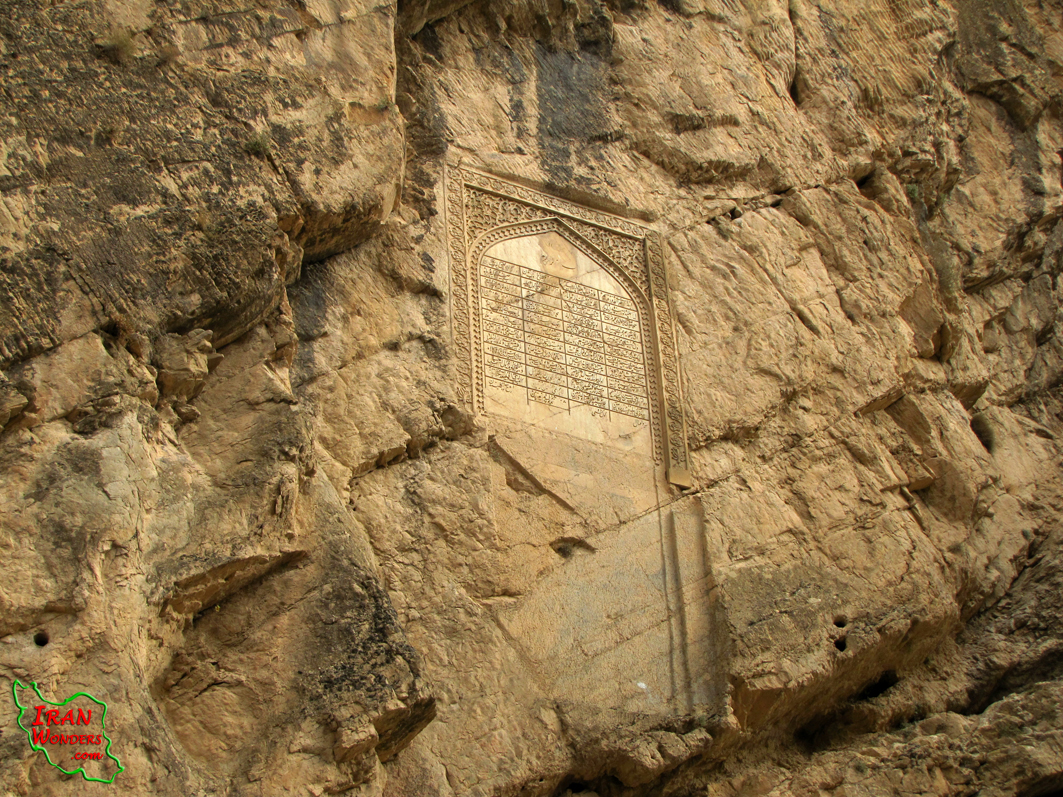
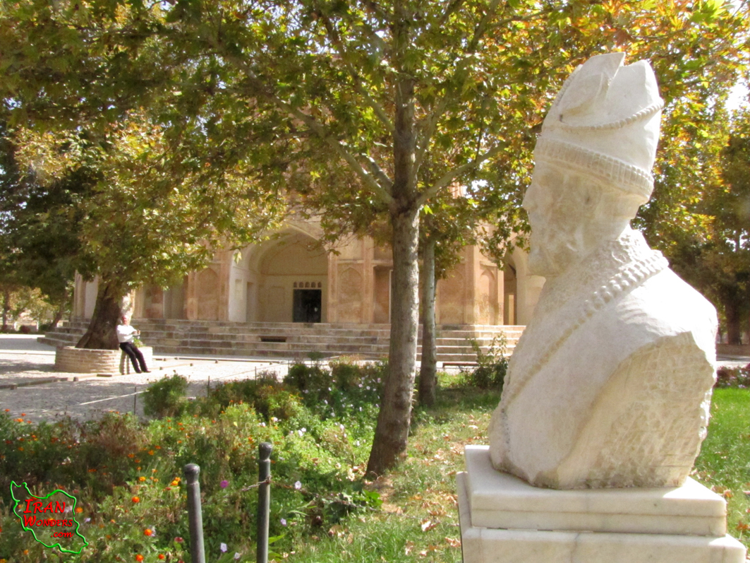
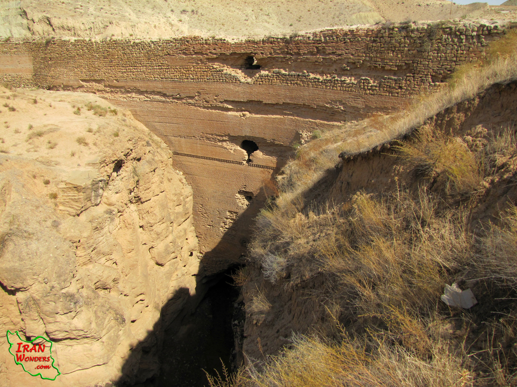
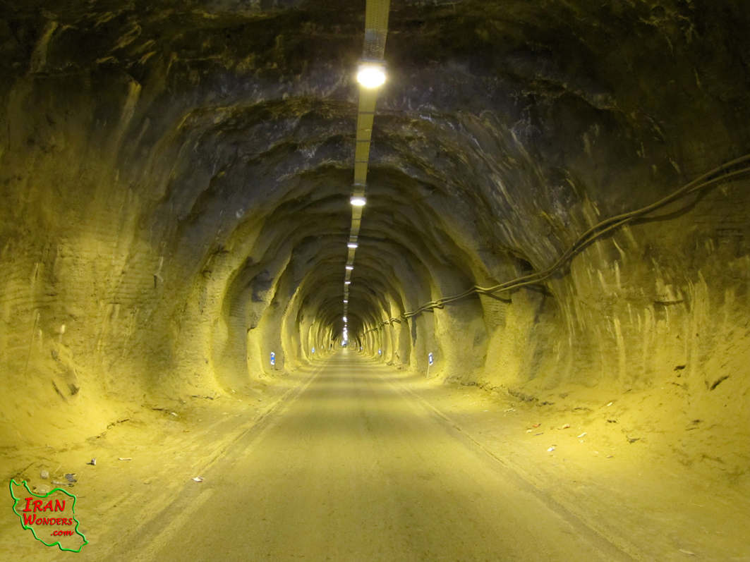
Qasre-Khorshid (The palace of the sun) is an unfinished tomb in the middle of the city. This building has three floors, in the middle of the Iranian garden. The basement has been a prison or a safe for Nader-Shah’s jewels, which is a museum now. Naderi dam has been made of stones, bricks and mortar by Saljuqs. It is 70 meters high and 7 to 12 meters thick that reserved the water of Kalat river to water the farms. Naderi epigraph is written about Nader-Shah and is placed 15 meters above the river at the entrance of Arqon-Shah’s gate. Arqoun-Shah tower is in the west of Kalat, 200 meters away from Naderi epigraph, in an area called Darband. It is 9 meters high and placed about 40 meters higher than the river which was built during Ilkhanids era. Kaboud mosque is about 200 meters in the east of Qasre-Khorshid, built in Saljouqs dynasty.
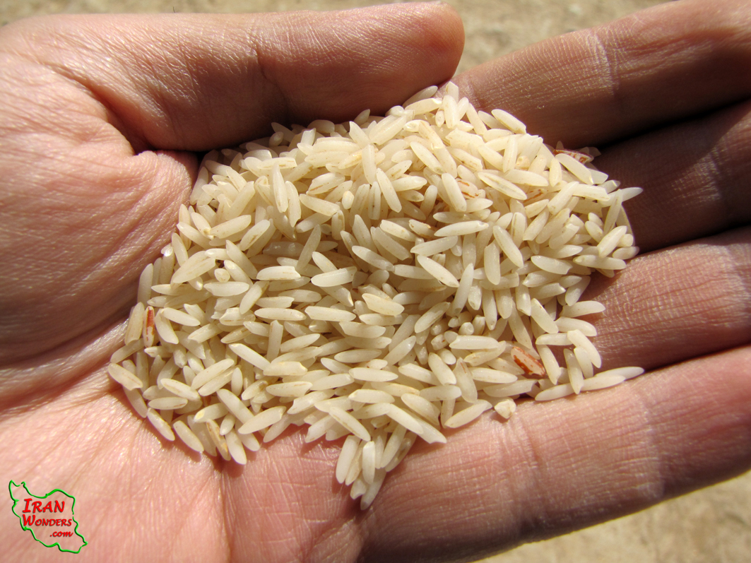
The locals are almost farming, animal husbandry, gardening, rice growing etc. Kalat’s rice is mac-coy and has nice smell. Most of women weave carpets. The locals are Persians, Torkish and Kormanj. Wedding parties have special traditions with local dances and Choukheh wrestling. Traditional health care is very common in this area.
It is advised to visit this natural and cultural attraction on your trip to the North-East of Iran.

For more information, tour, visa, accommodation, transport and tour guide please contact us.
Comments powered by CComment